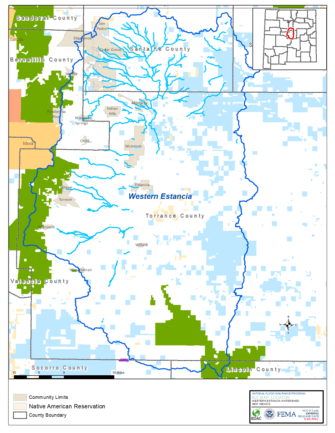
Western Estancia Watershed
The New Mexico CTP has begun the Base Level Engineering (BLE) process in the Western Estancia Watershed area.
- The Base Level Engineering project was initiated in the watershed in December 2020 and will was completed in December of 2021.
- The BLE GIS data and HEC-RAS models can be downloaded from FEMA’s Estimated Base Flood Elevation Viewer.
- The Community meeting was held March 15, 2022, 10am -12pm.
- Western Estancia Watershed BLE Presentation.
Base Level Engineering Materials
- Overview – What is Base Level Engineering?
- Using the Estimated BFE Viewer
- BLE Data Downloads
- BLE Vector GeoDatabase
- Water Surface Elevation Grids
- Flood Depth Grids
- Additional BLE Tools and Resources

